
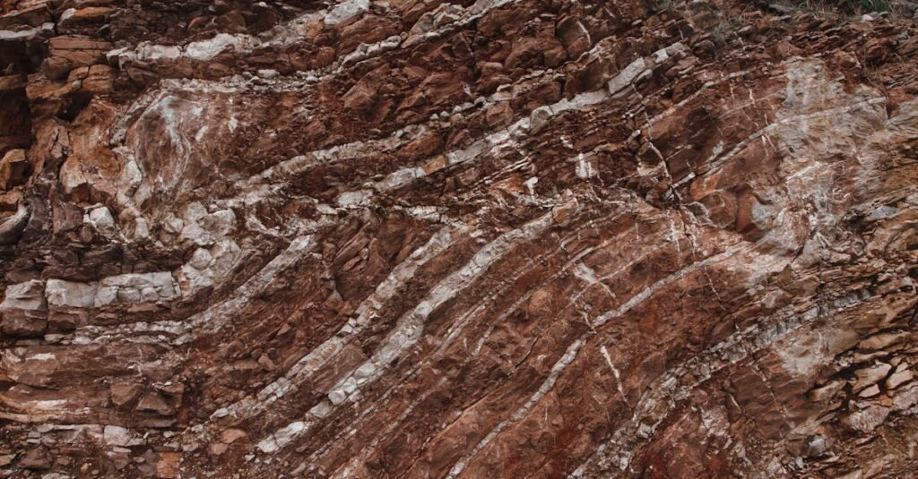
A geological map is a technical representation of rock distribution, geological age, and structural features at the Earth’s surface. Unlike general maps, it focuses on subsurface composition and geological processes that influence land stability and resource potential.
Through color-coded lithology, structural symbols, and fault line interpretation, geological maps provide critical insight for mining, engineering, and environmental assessment.
In mineral exploration, these maps help identify prospective zones.
In infrastructure development, they assist in evaluating ground stability and geotechnical risk.
In hazard analysis, they support the assessment of faults and structural weaknesses.
Geological mapping integrates field surveys, drilling data, laboratory analysis, and remote sensing technologies. The result is not just a visual document, but a decision-support tool that reduces uncertainty before major land-based projects begin.
Understanding geology is not optional in technical planning — it is foundational.