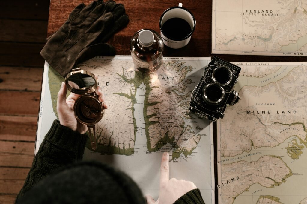
Before the era of satellites and GPS, explorers relied on maps that were often more imagination than fact. Yet, those imperfect drawings changed the course of history — guiding ships toward lands no one in Europe had ever seen.
The Age of Discovery Begins
The 15th century marked what historians call the Age of Discovery. Nations like Portugal and Spain led expeditions in search of new trade routes to Asia. But to cross vast, unknown oceans, sailors needed more than courage — they needed maps. These maps were both tools and talismans, a blend of science, art, and daring guesswork.
The Ptolemaic Map: A World Half-Seen
Before Columbus set sail, the dominant worldview came from Ptolemaic maps. Based on the writings of the Greek geographer Claudius Ptolemy, these maps depicted only Europe, Asia, and Africa. The Americas, the Pacific Ocean, and Australia were absent — blank spaces waiting to be imagined.
For the explorers of the time, the world was still incomplete. Every uncharted space represented both danger and opportunity.
The Cantino Planisphere: A Secret Map
In 1502, a new map changed everything — the Cantino Planisphere. Created by Portuguese cartographers, it was among the first to include the newly found lands of the Americas. The map was so valuable that it was smuggled out of Lisbon and secretly sold in Italy.
It revealed not only the outlines of a “New World” but also the power struggle between nations racing to claim it.
Mistakes That Led to Discovery
Early maps were full of errors — coastlines drawn too wide, continents misplaced, proportions wildly off. Yet those “mistakes” didn’t hinder exploration. Instead, they inspired it. Each new voyage corrected the last, gradually shaping a more accurate picture of Earth.
In a way, those old maps remind us that progress often begins with being wrong — and having the courage to keep going anyway.
The Legacy of Ancient Maps
Today, with satellite imagery and digital globes, it’s easy to see how inaccurate early maps were. But their value wasn’t in precision — it was in vision. Every line drawn on parchment represented curiosity, courage, and the human drive to explore beyond the known.
The explorers’ maps didn’t just chart geography; they charted humanity’s restless spirit — the same one that now reaches beyond Earth toward the stars.
