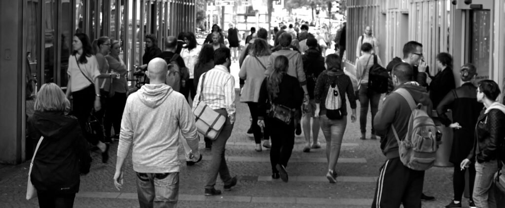
Population and urbanization maps provide more than just data — they tell the story of how humans interact with the planet. By visualizing where people live, work, and build cities, these maps reveal patterns of settlement, development, and resource use that shape our world today.
- The Global Distribution of People
When viewed from above, population maps show how unevenly humans occupy the Earth. Most people live near coasts, rivers, and fertile plains, while deserts, mountains, and polar regions remain sparsely populated. This pattern highlights our dependence on accessible water, arable land, and moderate climates.
- Urban Growth Over Time
Cities are expanding faster than ever. By comparing urbanization maps from different decades, we can see how small towns have transformed into sprawling metropolitan areas. These visual shifts reveal how industrialization, migration, and economic opportunity drive population movement.
- Density and Pressure
Heatmaps of population density display intense clusters — especially in South and East Asia — where millions of people live in compact areas. Such density presents both opportunities and challenges: efficient public transport and vibrant economies on one hand, but overcrowding and resource strain on the other.
- The Connection Between People and Resources
Urbanization isn’t just about where people live; it’s about how they consume. Maps showing links between city populations and resource use — such as energy, water, and food — demonstrate the impact of urban centers on the environment. Understanding these connections helps guide sustainable city planning.
- Reading Maps as Future Tools
Population and urbanization maps are vital for predicting future trends. Governments and researchers use them to plan infrastructure, housing, and public services. With data from satellite imagery and AI-driven mapping, we can anticipate urban expansion and prepare for population shifts due to climate change.
In Conclusion
Maps are not static pictures — they are living records of human life. Population and urbanization maps remind us that our cities are growing ecosystems, constantly changing as people seek opportunity, security, and connection. By studying these maps, we gain insight into both our history and our collective future.
