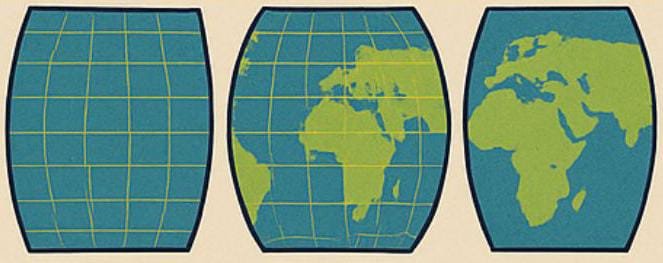
World maps have long been essential tools for understanding the Earth, planning travel, and even shaping global politics. Yet, what many people don’t realize is that the maps we commonly see—such as the Mercator projection used in schools and atlases—are not completely accurate. The core issue lies in a simple fact: the Earth is round, but maps must be represented on a flat surface.
The Projection Problem
To transform the globe into a flat map, cartographers use what is known as a map projection. Unfortunately, every projection introduces distortion. Some distort size, others distort shape, distance, or direction. This means no flat map can perfectly represent the three-dimensional Earth.
A Famous Example: Greenland vs Africa
One of the best-known examples of distortion comes from the Mercator map. On this projection, Greenland appears almost the same size as Africa. In reality, Africa is about 14 times larger. This striking difference highlights how easily maps can mislead our perception of scale.
Hidden Distortions
Beyond the Greenland example, many distortions are less obvious but equally important:
Countries near the poles, such as Russia or Canada, appear much larger than they actually are.
Tropical countries, such as Indonesia or Brazil, often look much smaller than their real proportions.
These distortions can create a subtle illusion of dominance, influencing how we perceive global balance and power.
Alternative Map Projections
To address these challenges, geographers have developed several alternative projections:
Gall-Peters Projection: Maintains more accurate proportions of land area, though it stretches continents vertically.
Winkel-Tripel Projection: A compromise that balances shape and size, often considered one of the fairest representations, and widely used in modern atlases.
While no projection is flawless, these alternatives offer more balanced perspectives on the world.
Conclusion
A world map is more than just an illustration—it is a compromise between accuracy and readability. By recognizing that every map contains distortions, we can view global geography with a more critical and fair perspective. Understanding these limitations allows us not only to read maps but also to appreciate the complex reality they are trying to represent.
