Every day, satellites silently orbit above us, capturing detailed glimpses of our planet. But how do these machines in space actually take images of Earth—and how do those images end up in our hands?
This article unpacks the journey: from orbiting satellites and onboard sensors to data processing and real-world applications.
- The Role of Orbit
Satellites travel in specific orbits depending on their mission. Earth observation satellites typically use polar sun-synchronous orbits, which allow them to pass over the same area at the same local solar time each day. This consistent lighting condition is essential for comparing images over time. Other satellites may use geostationary orbits, remaining fixed over one location—ideal for weather monitoring. - The Eyes of the Satellite: Sensors
Mounted on these satellites are specialized sensors. These instruments detect various wavelengths of light and energy—visible, infrared, thermal, or even radar. Unlike a conventional camera, satellite sensors measure reflected or emitted energy, converting it into digital signals. Some satellites, like Landsat or Sentinel, have multispectral sensors that can “see” far beyond the range of human vision. - Scanning the Surface
As the satellite moves along its orbit, its sensors scan the Earth’s surface in swaths. The satellite collects raw data line by line, often using a pushbroom or whiskbroom scanning technique. These swaths are stitched together to form complete images of large areas. - Transmission to Ground Stations
The collected data is then transmitted back to Earth. Ground stations located around the globe receive the signals and store the raw data for further processing. This step often happens in near-real-time, depending on satellite coverage and bandwidth. - Data Processing
Once received, the raw data undergoes a series of technical steps—such as geometric correction, radiometric calibration, cloud masking, and band alignment—to transform it into usable images. The data is then geo-referenced, making it compatible with GIS (Geographic Information Systems) and mapping platforms. - Ready for Analysis
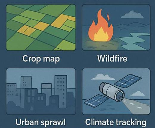
The final imagery becomes available to researchers, governments, and industries. From monitoring agriculture and urban expansion to disaster response and environmental protection, satellite imagery supports decision-making across sectors.
A Global Lens on a Changing World
Satellite imagery is more than just pictures from space—it’s a continuous stream of information that helps us monitor, understand, and protect our planet. From orbit to Earth, each image captured tells a story of change, resilience, and discovery.
