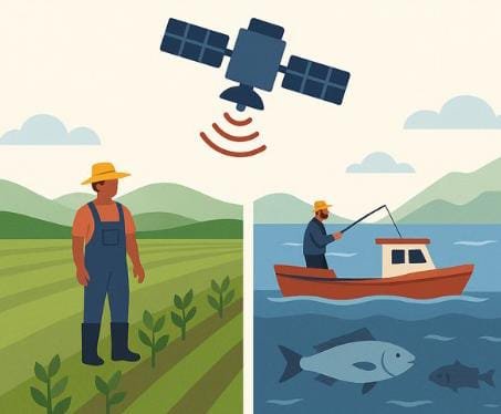
In an era of climate uncertainty and resource challenges, satellite technology is playing a vital role in supporting those whose livelihoods depend on the earth and ocean. Farmers and fishers are leveraging data from above to make smarter, more sustainable decisions.
Why Satellite Data Matters
Satellites collect vast amounts of environmental data, providing real-time insights for better planning, efficient resource use, and risk mitigation. This information is crucial for agriculture and fisheries, enabling them to adapt to changing weather patterns and environmental pressures.
Monitoring Crop Health with NDVI
The Normalized Difference Vegetation Index (NDVI) is a widely used satellite tool in agriculture. It visualizes plant health based on how vegetation reflects light, allowing farmers to:
- Monitor field conditions over time
- Identify issues like pests, drought, or disease early
- Intervene before yields are reduced
Understanding Soil Moisture from Space
Satellites equipped with microwave sensors can measure soil moisture, helping farmers:
- Determine when and where to irrigate
- Assess drought severity
- Monitor long-term soil health trends
Mapping Fish-Rich Waters
Satellite data is revolutionizing fisheries by analyzing sea surface temperatures and chlorophyll concentrations. This helps:
- Predict fish locations
- Guide sustainable fishing practices
- Support marine ecosystem monitoring
Real-Time Alerts for Safer Planning
Satellites provide essential early warning systems, alerting farmers and fishers to:
- Incoming storms or floods
- Unfavorable ocean conditions
- Shifting planting or harvesting windows
Building Smarter, More Resilient Livelihoods
Satellite technology is becoming an essential component of sustainable development. By providing valuable insights and early warnings, satellites are helping people on the ground and sea work smarter, not harder. When satellites meet soil and sea, everyone benefits.
