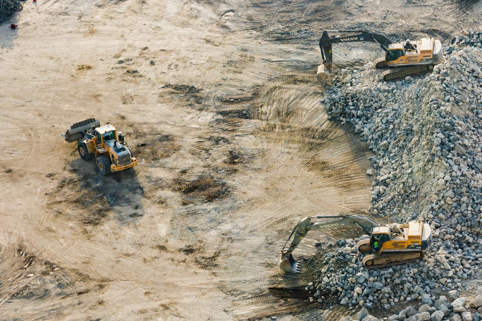
In an era where land use is highly contested and environmental concerns are urgent, mining can no longer operate in the dark. While extractive industries provide key resources for economies, they also pose significant risks to ecosystems, water sources, and communities.
Today, spatial technology—particularly satellite imagery and geographic information systems (GIS)—is changing how mining is monitored, mapped, and managed. This article explores how these tools are used to promote more transparent and accountable mining practices.
Why Digital Monitoring Matters in Mining
Mining operations often span large, remote, and ecologically sensitive areas. In the absence of oversight, unauthorized expansions, permit violations, or destructive practices can go undetected. Digital monitoring systems offer a way to catch these risks early—before damage becomes irreversible.
Technology enables:
- Real-time visibility into land-use changes
- Detection of overlaps between concessions and protected zones
- Community empowerment to report illegal activities
By integrating multiple sources of spatial data, decision-makers can act based on verified evidence.
What Satellites Can Show Us
Satellites provide a consistent, scalable, and independent view of mining landscapes. This includes:
- Forest loss or land clearing from open-pit mining
- Road expansion into previously intact ecosystems
- Proximity to rivers, settlements, or indigenous territories
Many satellites, such as Landsat or Sentinel, offer publicly available imagery that can be used for before–after comparisons or long-term analysis. These insights are often the first signal of unreported activity on the ground.
GIS: Mapping Permits, Risks, and Land Use
Open-source GIS tools like QGIS allow users to overlay various spatial datasets: concession boundaries, forest cover, protected areas, indigenous territories, and more. Through visual analysis, one can see whether a mining site:
- Lies within or near protected zones
- Conflicts with land designated for other uses
- Aligns with its permitted boundaries
These tools are not limited to experts. With basic training, local governments, researchers, or NGOs can use GIS to hold extractive actors accountable.
From the Cloud to the Ground: Mobile-Based Field Monitoring
While satellites provide the big picture, mobile apps help verify conditions in the field. Tools like Forest Watcher, Google Earth, or custom dashboards allow users to:
- Receive alerts on recent land changes (e.g., deforestation hotspots)
- Navigate to specific locations of concern
- Take geotagged photos and submit field reports
This is especially useful for community monitors or civil society organizations that need accessible, low-cost tools for oversight.
Transparency and Accountability Through Open Data
When mining data is open, layered, and regularly updated, it leads to better governance. Transparent monitoring allows:
- Regulators to identify violations faster
- Companies to reduce reputational risks through compliance
- Communities to protect their environment and rights
Spatial data is not just a technical resource—it is a civic tool that supports justice and sustainability.
Conclusion: What Responsible Mining Looks Like
In the age of satellites, mining can no longer be invisible. Whether through map layers, remote sensing, or mobile apps, we now have tools that make extractive activities observable and auditable. The next step is ensuring this data is used—by governments, companies, and communities alike—to protect both land and people.
Mining in the satellite era means more than extraction—it means responsibility.
