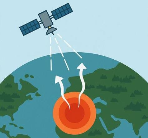
Every year, news and environmental reports mention “hotspots” seen from satellites. These glowing red dots on digital maps often trigger public concern, especially during dry seasons. But what exactly are they? And do they always indicate wildfire?
Defining a Hotspot
A hotspot, in satellite monitoring, refers to a location where high surface temperatures are detected using thermal sensors. These sensors pick up infrared radiation emitted by the Earth’s surface. When a pixel shows significantly more heat than its surroundings, it is flagged as a hotspot.
The presence of a hotspot usually suggests something abnormal—often associated with combustion or disturbance of land—but it doesn’t automatically mean there’s a fire.
Hotspots Are Not Always Fires
There is a common misconception that a hotspot must indicate a wildfire. In reality, hotspots can originate from various sources, including:
Open burning in forests or agricultural lands
Small-scale land clearing using fire
Heat emissions from factories, chimneys, or heavy machinery
Sun-heated exposed soil or rock surfaces
Geothermal activity or dry vegetation during peak heat
This means that not every red dot is an emergency. Some are part of regular land-use practices or industrial operations, while others are harmless natural phenomena.
Why Hotspots Still Matter
Despite their varied origins, hotspots remain critical for early warning and environmental monitoring. When multiple hotspots appear in clusters—especially within forested or protected areas—they may point to unauthorized land clearing, deforestation, or peatland burning. These events, if unmonitored, can quickly escalate into large-scale environmental damage.
Monitoring hotspots helps authorities and communities detect potentially dangerous activity before it grows out of control.
How Hotspot Data Is Used
Hotspot alerts are part of a broader system used by governments, environmental organizations, and disaster response teams. This data enables:
Early detection of potential wildfires or land-use violations
Targeted ground inspections and enforcement actions
Community-level alerts to prepare or evacuate
Long-term environmental assessments and trend mapping
In many regions, this data feeds into digital dashboards and mobile apps to support rapid decision-making and situational awareness.
Hotspot = Signal, Not Verdict
The presence of a hotspot should be understood as a signal—an indicator of abnormal heat that needs verification. It is not a final judgment. Ground teams and local observation remain essential for confirming whether a hotspot is caused by fire, machinery, or other heat sources.
