
Blue Skies? Not Always—Here’s What’s Really in the Air Above Your City
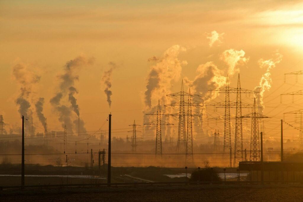
When you look up, you might see blue skies—but what are you really breathing? Air pollution is often invisible, and its effects on our health can be serious. Thankfully, in the age of technology, satellites orbiting high above us are quietly working to monitor the quality of our air—every single day.
Let’s dive into how these space-based “super-eyes” help us stay informed and protected.
Reality Check: Satellites Are Sniffing Out the Air We Breathe
Ever wondered how scientists keep track of pollution levels? Today, satellites play a critical role. They orbit the Earth, scanning cities and countrysides alike, picking up clues about what’s in the atmosphere. Instead of relying solely on ground sensors, satellites offer a broader, real-time perspective that covers even the most remote areas.
How Do Satellites Detect Air Pollution?
Satellites are equipped with advanced sensors that “see” much more than the human eye. These sensors detect harmful gases like carbon monoxide (CO), nitrogen dioxide (NO₂), sulfur dioxide (SO₂), and tiny particulate matter floating in the air. By capturing how these particles and gases reflect or absorb sunlight, satellites create detailed snapshots of pollution levels all over the planet.
Turning Data Into Colorful Maps
The information collected by satellites isn’t just a series of numbers—it’s transformed into vivid, color-coded maps that anyone can understand at a glance. Typically, green means the air is safe, yellow signals caution, and red warns of dangerous pollution levels. These maps provide a visual, easy-to-read way for governments, organizations, and the public to understand what’s happening in real time.
Satellite Data Meets Your Smartphone
You don’t have to be a scientist to benefit from satellite air quality data. Today, several apps (like IQAir, AirVisual, or your local meteorological service) use satellite data to provide live air quality updates directly to your phone. You can receive notifications—sometimes even before you step outside—about days when it’s better to stay indoors or wear a mask.
Why Does Satellite Air Quality Data Matter?
Satellite air quality data is more than just numbers and maps—it can save lives. Here’s why it’s important:
- Personal safety: Plan your outdoor activities for when the air is clean.
- Health protection: Know when to avoid exposure, especially if you have respiratory conditions.
- Informed decisions: Support public health policies and environmental initiatives with real data.
Super Satellites Working for Us
Satellites like Sentinel-5P (ESA), Terra and Aqua (NASA), and Japan’s GOSAT circle the globe every day, dedicated to monitoring our atmosphere. Their data powers weather forecasts, academic research, and even the apps we use daily.
Take Action: Check Your City’s Air Quality Today
It’s easier than ever to find out what you’re breathing. Download an air quality app, check your city’s real-time data, and don’t hesitate to share what you find—raise awareness and help your community stay healthy. Remember: clean air is a right, not a privilege!