
Introduction
As global attention on climate change continues to grow, land-based industries such as palm oil are under increasing pressure to demonstrate environmental responsibility. One of the most effective tools to support this transition is Geographic Information System (GIS), especially when integrated with satellite imagery.
Through GIS, companies can calculate carbon stock, map greenhouse gas emissions, and monitor land use changes—all of which contribute to more sustainable, transparent plantation management.
What is Carbon Stock?
Carbon stock refers to the amount of carbon stored in vegetation, soil, and organic matter. In the context of palm plantations, trees function as carbon sinks, absorbing CO₂ from the atmosphere and storing it within their biomass and root systems.
By mapping carbon stock, plantation managers can:
- Quantify the environmental value of their land
- Identify opportunities for reforestation and conservation
- Provide reliable data for sustainability reporting and certification
The Role of GIS and Satellite Imagery
Traditional field surveys are costly and time-consuming. Remote sensing technologies, especially when paired with GIS, offer a faster, scalable, and more accurate solution.
GIS and satellite imagery enable companies to:
- Monitor plantation areas remotely with high-resolution data
- Analyze vegetation health and density
- Detect changes in land cover and identify emission risks
- Overlay and analyze spatial and non-spatial data simultaneously
These capabilities make GIS a powerful tool for sustainability-focused decision-making.
How Carbon Stock is Measured
Carbon stock estimation involves both field-based measurements and satellite-derived data. Key variables include:
- Tree height
- Tree density
- Vegetation indices such as NDVI (Normalized Difference Vegetation Index)
- Biomass per hectare
Using these variables, carbon is typically estimated using the formula:
Carbon Stock = Biomass × Carbon Conversion Factor
The results are visualized using GIS maps, often with color gradients representing levels of carbon storage across different areas of the plantation.
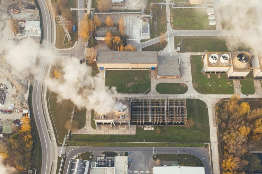
Emission Mapping: Identifying and Managing Risk
While carbon mapping shows what is stored, emission mapping shows what is being lost. Land use changes such as deforestation, peatland drainage, and illegal clearing all contribute to greenhouse gas emissions.
GIS enables companies to:
- Track land use change over time
- Identify emission hotspots
- Plan corrective actions such as reforestation or buffer zone restoration
Visual comparison maps, such as before-and-after overlays, are often used to monitor improvements or detect non-compliance.
Supporting ISPO and RSPO Certification
Sustainability certifications like ISPO (Indonesian Sustainable Palm Oil) and RSPO (Roundtable on Sustainable Palm Oil) require companies to document:
- Conservation areas
- Greenhouse gas mitigation plans
- Peatland protection strategies
- Compliance with land-use regulations
GIS simplifies the certification process by providing spatial evidence that is easy to validate during audits. An audit checklist integrated with geospatial layers can speed up verification and improve the accuracy of submitted data.
Real-World Benefits
Companies that implement GIS-based carbon and emission mapping often experience:
- Reduced monitoring and reporting costs
- Greater transparency in sustainability claims
- Stronger compliance with national and international standards
- Improved stakeholder trust and investor confidence
This is not just a regulatory requirement—it’s a strategic asset for long-term growth and credibility.
Conclusion
Carbon stock and emission mapping are no longer optional for sustainable plantation management. With the support of GIS and satellite data, companies can operate more responsibly, meet certification standards, and actively contribute to climate change mitigation.
Geospatial intelligence transforms data into action. And action leads to impact.