
Exploring the Untold Power of Geographic Information Systems
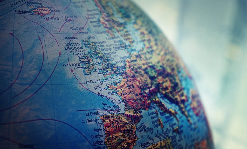
When most people hear the term Geographic Information System (GIS), they immediately think of maps. While that’s not wrong, it only scratches the surface of what GIS truly is—and what it can do.
GIS is more than just a tool for displaying locations on a map. It’s a sophisticated technology that combines location data with layers of information to reveal patterns, solve problems, and support decision-making in ways that impact nearly every aspect of modern life.
A Brief History: Where It All Began
The roots of GIS can be traced back to the early 1960s. In 1963, a Canadian geographer named Roger Tomlinson developed the Canada Geographic Information System (CGIS) for the Canadian government. This was the first computerized GIS, created to manage land-use data across the country.
Tomlinson’s pioneering work earned him the title “Father of GIS,” and CGIS became the foundation for what would eventually evolve into the global GIS technology we use today.
Beyond Maps: What GIS Really Does
At its core, GIS connects spatial (location-based) data with attribute data—such as population, soil type, crime rates, traffic flow, or land use. This integration allows users to not only understand where things are, but also gain insight into why they are there, how they change over time, and what might happen in the future.
GIS is used to:
- Analyze disaster risk zones and support emergency response planning
- Optimize logistics and delivery routes
- Monitor environmental changes, such as deforestation and urban sprawl
- Inform infrastructure development and urban planning
- Visualize and predict climate change impacts
- Enable location-based marketing strategies in business
GIS in Everyday Life
Many people use GIS-based applications without realizing it. If you’ve ever:
- Navigated using Google Maps or Waze
- Tracked a food delivery or courier package
- Tagged a location in a social media post
- Used a ride-hailing app like Uber or Grab
You’ve interacted with a system powered by GIS.
These services rely on real-time spatial data to function, and GIS is what processes and visualizes that information for seamless use.
A Technological Milestone: The First Computer Map
In the pre-digital era, maps were created entirely by hand. The introduction of CGIS in 1963 marked a revolutionary moment in cartography: the world’s first computer-generated map. This innovation transformed how spatial data was stored, analyzed, and shared—and set the stage for digital mapping as we know it today.
From Earth to Outer Space
GIS is not confined to Earth. It’s also used by organizations like NASA to:
- Map planetary surfaces
- Track changes in Earth’s atmosphere
- Support satellite missions and space exploration
The versatility of GIS extends from the depths of the ocean to the far reaches of our solar system.
GIS for Public Safety and Disaster Response
One of the most powerful applications of GIS is in emergency and disaster management. Governments and NGOs use GIS to:
- Map areas vulnerable to natural disasters such as floods, landslides, or wildfires
- Plan evacuation routes and response strategies
- Allocate resources efficiently during emergencies
By providing accurate, real-time data, GIS helps save lives and minimize damage.
Why It Matters
GIS plays a central role in how we interact with and understand the world around us. From enhancing urban mobility to helping scientists address global climate issues, GIS bridges the gap between data and geography in ways that are both practical and transformative.
For students, researchers, and professionals alike, understanding GIS opens up a wide range of opportunities in fields such as environmental science, urban planning, logistics, public health, agriculture, and even space science.
Conclusion
Geographic Information Systems are no longer just tools for mapmakers—they are foundational to modern problem-solving across virtually every industry. Whether you’re navigating city streets, responding to emergencies, or exploring outer space, chances are, GIS is working behind the scenes.
If you’re passionate about data, geography, and technology, GIS is a field worth exploring further.