
Welcome to the fascinating world of satellite imagery! In this blog, we will explore the various types of high-resolution satellite imagery that help us understand our planet better. Let’s dive in!
1. Panchromatic Imagery 📷
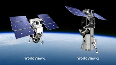
Panchromatic imagery uses a single band of visible light, providing high resolution. This type of imagery is ideal for detailed surface analysis, allowing us to capture intricate details of the Earth’s features. An excellent example of this is imagery from the WorldView satellite, which offers stunning clarity and detail.
2. Multispectral Imagery 🌱
Multispectral imagery utilizes multiple spectral bands, including infrared, for deeper analysis. This type of imagery is particularly useful for monitoring vegetation health, land use, and environmental changes. Satellites like Landsat and Sentinel-2 provide valuable multispectral data that researchers and environmentalists rely on to track changes over time.
3. Hyperspectral Imagery 💧
Hyperspectral imagery collects data across hundreds of spectral bands, allowing for more specific material identification. This type of imagery is invaluable in fields such as mineral research, agriculture, and water quality assessment. An example of hyperspectral imagery can be found in data collected by the AVIRIS satellite, which helps scientists analyze the composition of various materials on Earth.
4. Radar (SAR) Imagery 📡
Radar (Synthetic Aperture Radar) imagery uses radar waves to generate images and can operate in all weather conditions, making it incredibly versatile. This type of imagery is ideal for disaster monitoring, surface change detection, and mapping. The Sentinel-1 satellite is a prime example of a satellite that provides valuable radar imagery for various applications.
5. Thermal Imagery 🌡️
Thermal imagery measures thermal radiation emitted from the Earth’s surface, making it useful for temperature analysis. This type of imagery helps in monitoring surface temperatures, identifying heat islands, and studying climate change. The Landsat 8 satellite is known for its thermal imaging capabilities, providing critical data for environmental studies.
6. 3D Imagery 🏞️
3D imagery generates three-dimensional models of the Earth’s surface, often used in mapping and topographic analysis. This type of imagery is essential for urban planning, resource management, and environmental monitoring. The WorldView-3 satellite is an excellent example of a satellite that provides high-quality 3D imagery, helping planners visualize landscapes in three dimensions.
Conclusion 🌎
With various types of high-resolution satellite imagery, we can better understand and protect our planet. These technologies not only provide stunning visuals but also offer critical data for research and environmental conservation. Let’s continue to explore and care for our Earth together!