
Remote sensing is a powerful technology that allows us to observe and analyze Earth without direct physical contact. By using sensors mounted on satellites, aircraft, and drones, we can collect consistent, large-scale data that supports scientific research and practical decision-making across many industries.
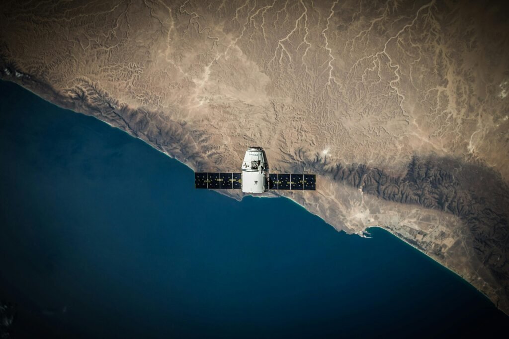
Observing Earth from Space and Sky
Satellites orbiting Earth continuously capture information about land, oceans, and the atmosphere. Aircraft and unmanned aerial vehicles complement this view by providing higher-resolution data for specific locations. Together, these platforms create a comprehensive picture of Earth’s surface and its changes over time.
Types of Remote Sensing Systems
Different sensing systems serve different purposes. Optical sensors capture reflected sunlight, enabling detailed visual interpretation of landscapes. Radar systems, such as Synthetic Aperture Radar (SAR), actively transmit signals and can operate through clouds and at night, making them especially valuable for monitoring dynamic environments.
What Remote Sensing Can Reveal
Remote sensing enables the observation of land use patterns, vegetation conditions, surface deformation, and natural hazards. It helps detect deforestation, urban expansion, floods, volcanic activity, and other environmental changes that are difficult to monitor solely through ground surveys.
From Raw Data to Actionable Insight
Collected data undergoes processing, correction, and analysis before being transformed into maps and spatial information. This workflow converts complex measurements into meaningful insights that support planning, monitoring, and risk assessment.
Real-World Applications
Remote sensing plays a crucial role in environmental management, urban and regional planning, mining and resource exploration, and disaster response. Its ability to provide timely, accurate, and wide-area information makes it an essential tool for informed decision-making in a rapidly changing world.
Conclusion
By viewing Earth from above, remote sensing allows us to understand patterns, processes, and changes that are otherwise invisible from the ground. It bridges technology and geography, turning observations into knowledge that supports sustainable development and resilient planning.