
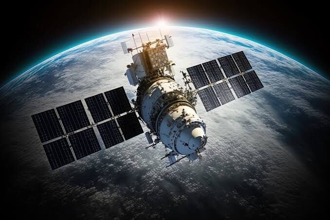
Remote sensing satellite imagery is revolutionizing the way we understand and interact with our planet. By capturing detailed images of the Earth’s surface, this technology provides invaluable insights across various fields, including agriculture, urban planning, environmental monitoring, and more! 📸✨
Why is Procurement Important? 🤔
The procurement of satellite imagery is crucial for organizations aiming to leverage this powerful data. Here are some key reasons why investing in the right imagery matters:
- Access to High-Quality Data: Quality imagery is essential for accurate analysis and decision-making. High-resolution images allow for detailed assessments of land use, vegetation health, and urban development.
- Timely Updates: The Earth is constantly changing, and having access to timely satellite imagery ensures that organizations can respond quickly to new developments, whether it’s monitoring natural disasters or tracking urban expansion.
- Informed Decision-Making: With accurate and up-to-date data, businesses and governments can make better decisions regarding resource management, environmental protection, and urban planning. This leads to more sustainable practices and improved outcomes for communities. 🌱📊
Tips for Successful Procurement 💡
When it comes to procuring remote sensing satellite imagery, here are some essential tips to keep in mind:
- Assess Your Needs: Before diving into procurement, take the time to determine what you need. Consider factors such as the resolution of the images, the coverage area, and the frequency of updates required for your specific projects.
- Choose Reputable Providers: Collaborate with trusted satellite imagery suppliers. Research their offerings, read reviews, and ensure they have a track record of delivering high-quality data.
- Understand Licensing: It’s crucial to understand the licensing agreements associated with the imagery you procure. Ensure compliance to maximize the benefits and avoid any legal issues down the line.
By following these tips, you can effectively maximize the benefits of remote sensing imagery for your projects! 🚀🌐
Conclusion
Remote sensing satellite imagery is a powerful tool that can transform the way we approach various challenges on Earth. By understanding its importance and following best practices for procurement, organizations can harness this technology to drive innovation, sustainability, and informed decision-making.
💬 What are your thoughts on remote sensing satellite imagery? Share your questions or experiences in the comments below!