
Introduction
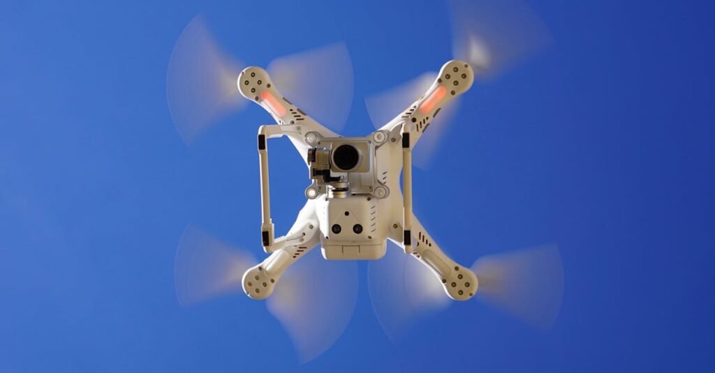
Unmanned Aerial Vehicles (UAVs), commonly known as drones, have evolved far beyond simple aerial photography tools. Today, they serve as advanced data acquisition platforms equipped with specialized sensors. Among the most widely used are RGB cameras, thermal sensors, and LiDAR systems—each offering unique capabilities for capturing and analyzing the world from above.
RGB Cameras: Capturing the Visible World
RGB (Red, Green, Blue) cameras are the most commonly used sensors in drone technology. These cameras function similarly to the human eye, capturing images in the visible light spectrum.
They are widely applied in:
Aerial photography and videography
Mapping and orthomosaic generation
Infrastructure and site inspections
RGB sensors are valued for their high-resolution output and realistic color representation. However, their limitation lies in their inability to detect information beyond visible light, such as heat or structural depth.
Thermal Sensors: Visualizing Heat Signatures
Thermal cameras operate by detecting infrared radiation, allowing them to measure temperature differences across surfaces. Instead of capturing visible imagery, they produce heat maps that reveal patterns invisible to the human eye.
Key applications include:
Building inspections and heat leak detection
Search and rescue missions
Monitoring electrical and mechanical systems
Thermal sensing is particularly useful in scenarios where temperature variation is critical for analysis, enabling faster and more accurate decision-making.
LiDAR Sensors: Mapping with Precision
LiDAR (Light Detection and Ranging) is a remote sensing technology that uses laser pulses to measure distances and generate highly accurate 3D models of the environment.
Its primary uses include:
Topographic and terrain mapping
Forestry and vegetation analysis
Infrastructure planning and development
One of LiDAR’s key advantages is its ability to penetrate vegetation, allowing it to capture ground elevation even in densely forested areas. This makes it an essential tool in geospatial and engineering applications.
Comparing Sensor Capabilities
Each drone sensor serves a distinct purpose, and their effectiveness depends on the type of data required:
RGB Cameras provide detailed visual imagery
Thermal Sensors reveal temperature variations
LiDAR Systems deliver precise spatial and structural data
Rather than replacing one another, these technologies often complement each other in integrated workflows.
Conclusion
Drone sensors have transformed aerial operations into powerful data-driven processes. By leveraging RGB, thermal, and LiDAR technologies, professionals across industries can gain deeper insights, improve efficiency, and make more informed decisions. As drone technology continues to advance, the integration of these sensors will play an increasingly vital role in shaping the future of data collection and analysis.