
Field operations are inherently risky.
Unstable terrain, limited visibility, and incomplete information often turn routine activities into potential hazards. Many incidents do not occur because risks were invisible, but because they were identified too late.
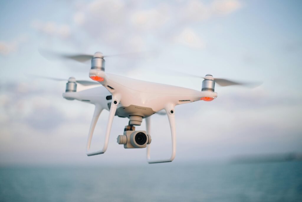
This is where drone data changes the equation.
By providing an aerial perspective before physical deployment, drones help organizations shift from reactive responses to proactive risk management.
Risk Begins with Limited Visibility
Traditional field assessments rely heavily on ground-level observation. While necessary, this perspective is narrow. It hides patterns, elevation changes, access constraints, and spatial relationships that only become clear from above.
Without a comprehensive overview, teams enter sites with assumptions rather than certainty—an early condition for risk.
Drone data expands visibility before boots ever touch the ground.
Reducing Exposure to Hazardous Areas
One of the most immediate risk reductions comes from minimized physical access.
Drones allow preliminary assessments without sending personnel into unstable or dangerous zones.
Steep slopes, eroded areas, confined spaces, or hard-to-reach locations can be inspected remotely. This reduces early exposure and ensures that human presence is introduced only when necessary and with adequate preparation.
Seeing the Site Before Entering It
Drone imagery provides a visual briefing of the field environment.
Teams can identify access routes, obstacles, terrain irregularities, and activity zones in advance.
This pre-visualization allows for better planning:
Safer entry points
Clear movement paths
Defined no-go zones
When teams know what to expect, uncertainty—and the risk it brings—is significantly reduced.
Early Detection Prevents Escalation
Many field risks develop gradually.
Small cracks, drainage issues, surface instability, or unexpected land changes often go unnoticed at ground level until they worsen.
From the air, these early indicators are easier to spot.
Drone data enables teams to identify potential issues before they escalate into incidents, delays, or costly failures.
Early detection is not just about safety—it is about control.
Supporting Evidence-Based Decisions
Decisions made under uncertainty are inherently risky.
Drone data replaces assumptions with visual evidence.
With accurate aerial data, planning becomes more precise, resource allocation more efficient, and operational decisions more defensible. Teams no longer rely solely on experience or intuition, but on measurable, shareable information.
Turning Risk into a Managed Variable
Risk cannot be eliminated from field operations, but it can be managed.
Drone data transforms unknown conditions into visible, analyzable insights.
When risks are understood spatially and visually, they move from being unpredictable threats to manageable variables within a broader decision-making system.
In modern field operations, safety is no longer just about protective equipment—it is about information quality.
And increasingly, that information comes from above.