
In today’s rapidly evolving world, the need for detailed, accurate geographical representations has never been greater. Among the most powerful tools in the field of geospatial analysis is the 3D topographic map. These maps provide a revolutionary way to visualize the Earth’s terrain in three-dimensional relief, offering a deeper understanding of natural features and human impacts on the environment.
What Are 3D Topographic Maps?
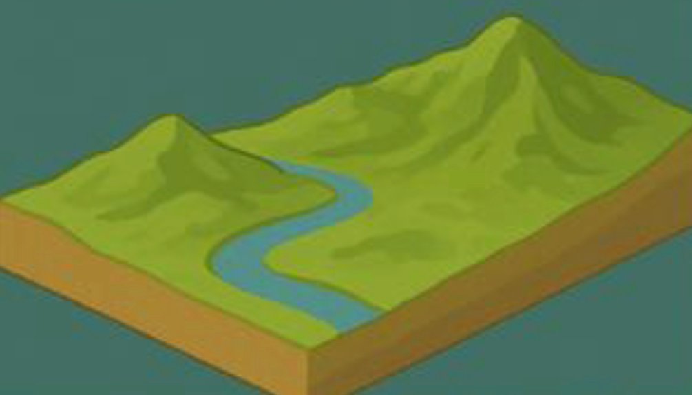
A 3D topographic map represents the Earth’s surface in three dimensions, showcasing a variety of natural features such as mountains, valleys, rivers, and plains. Unlike traditional 2D maps, which display the terrain in a flat format, 3D maps offer a more realistic depiction by incorporating elevation models, allowing for a true-to-life view of the landscape. This enhanced visualization is crucial for fields such as urban planning, environmental management, and geoscience.
Why Are 3D Topographic Maps Important?
The utility of 3D topographic maps extends across several sectors:
Urban Planning: These maps are instrumental for architects and city planners. By showing the elevation and slope of the land, 3D maps help in designing buildings, infrastructure, and transportation networks. They ensure that urban development is in harmony with the terrain, mitigating potential environmental impacts.
Resource Management: For natural resource management, 3D topographic maps provide insights into the distribution of water bodies, forests, and minerals. These maps help professionals monitor the impact of human activities, such as deforestation or mining, and strategize sustainable practices for resource use.
Geological Studies: Geologists rely heavily on 3D topographic maps for understanding the Earth’s surface. These maps enable a detailed analysis of geological features like fault lines, volcanic formations, and rock layers, which are vital for research and risk assessments in seismic or volcanic regions.
Realistic and Detailed Representation of Terrain
One of the primary advantages of 3D topographic maps is their ability to present terrain in a detailed, realistic format. With features like mountain peaks and valleys standing out in full three-dimensional detail, these maps provide an unparalleled view of the landscape. This allows users to gain a better understanding of the natural environment, including aspects like watershed dynamics, erosion patterns, and land use, which are often difficult to visualize with flat 2D maps.
How 3D Topographic Maps Enhance Decision-Making
The accuracy and level of detail in 3D topographic maps allow for informed decision-making in various fields:
In Urban Planning, planners can assess the suitability of land for construction projects based on elevation and slope data.
In Resource Management, these maps allow for precise analysis of ecosystems and natural resource availability, aiding in sustainable management practices.
In Geological Studies, geologists can interpret the structure of the Earth’s crust more effectively, providing data essential for hazard management and exploration.
Conclusion: The Future of Mapping
As technology advances, the role of 3D topographic maps will continue to grow in importance. With their ability to combine geographic data with detailed, three-dimensional visualizations, these maps are becoming indispensable tools in fields ranging from environmental science to urban planning. By providing a deeper, more realistic understanding of the Earth’s surface, 3D topographic maps not only enhance our knowledge but also guide better decision-making for a more sustainable and informed future.