
Why We Still Need Maps in the Age of Google Maps
In today’s world, getting from one place to another feels easier than ever. With a few taps on our phones, Google Maps or other navigation apps guide us turn by turn to our destination. For many people, paper maps and atlases feel like relics of the past.
However, even in this highly digital era, the ability to read and understand maps remains important. Maps are not just tools to get from point A to point B; they are instruments for understanding space, distance, patterns, and the world around us. Navigation apps are powerful, but they do not replace the fundamental skills that come from map literacy.
This article explores why maps still matter—and why we should care about learning to read them.
Beyond the Blue Line: Seeing More Than Just a Route
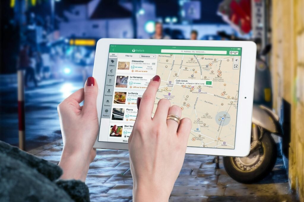
Navigation apps are designed to solve one main problem: how to get somewhere as quickly and efficiently as possible. They show you a recommended route, warn about traffic, and sometimes suggest alternatives. This is extremely convenient.
But there is a trade-off.
When we rely only on a blue line and voice instructions, we tend to stop paying attention to the bigger picture:
We don’t really know where we are in relation to other places.
We might arrive at our destination without any real mental map of the area.
If the route changes or the app makes an error, we can feel disoriented.
Maps, on the other hand, encourage us to see the whole area: streets, landmarks, neighborhoods, and how everything connects. They help build a mental model of space, rather than just a memory of step-by-step instructions.
Understanding Scale and Distance
One of the most fundamental concepts that maps teach is scale.
A map is a representation of a larger area, reduced to a manageable size. Scale tells us how much it has been reduced. For example, a scale of 1:100,000 means that 1 unit on the map (e.g., 1 cm) represents 100,000 units in the real world (e.g., 100,000 cm, or 1 km).
By learning to interpret scale, we can:
Estimate how far one town is from another
Compare travel distances between different routes
Understand the size of regions, countries, or continents
Navigation apps usually hide this information. They show a route and a time estimate, but they do not encourage users to think about actual distance in a spatial sense. Maps, especially physical maps, make that relationship visible and concrete.
For students, planners, researchers, or anyone working with geography, logistics, or transportation, this understanding is crucial. It goes beyond “How long will it take to get there?” and moves into “How far is it really, and how does this place relate to everything around it?”
Maps as Tools for Data and Insight
Maps are not limited to roads and political boundaries. Modern cartography has given us countless thematic maps, which show specific types of data in a spatial context. For example:
Population density maps
Climate or rainfall maps
Maps of disaster risk (earthquakes, floods, tsunamis, etc.)
Maps of economic activity, land use, or infrastructure
These maps transform raw data into something easier to understand at a glance. They allow us to see patterns:
Which regions are most densely populated?
Which areas are most vulnerable to natural hazards?
How does rainfall vary across a country?
Where are resources concentrated?
Navigation apps are great at giving directions, but they do not offer this kind of analytical view of the world. Map literacy helps people interpret spatial data, ask better questions, and make more informed decisions—whether in government planning, business, research, or education.
When Technology Fails: The Role of Maps in Critical Situations
As convenient as digital navigation is, it depends heavily on technology:
A functioning device
A charged battery
GPS access
Reliable signal or offline maps
In everyday city life, these conditions are usually met. But in certain situations, especially in remote areas or during emergencies, they may not be.
Consider:
Search and rescue operations in mountains or forests
Disaster response after earthquakes, floods, or storms
Outdoor activities such as hiking, camping, or expeditions
In these contexts, paper maps and compasses are still standard tools. Many professionals in emergency response are trained to navigate with traditional maps precisely because they do not rely on power or connectivity.
Knowing how to read a physical map can be the difference between being temporarily lost and being completely helpless when technology becomes unavailable.
Map Literacy as a Life Skill
Learning to read maps is more than memorizing symbols or understanding legends. It develops spatial thinking—the ability to visualize, interpret, and reason about the relationships between objects in space.
This kind of thinking helps with:
Remembering routes and locations
Understanding how cities and regions are organized
Grasping global issues like climate patterns, migration, and trade routes
Navigating independently, even in unfamiliar environments
Being “good with maps” means you are less likely to be completely dependent on digital tools. You can still use Google Maps and other apps, but you also have the internal ability to make sense of your surroundings. It’s similar to using a calculator: it’s a great tool, but basic numeracy still matters.
Google Maps Is a Tool. Map-Reading Is a Skill.
The question is not whether we should use digital navigation—of course we should. It saves time, reduces stress, and is deeply integrated into modern life.
The real issue is balance.
Google Maps is a powerful tool.
Map-reading is a fundamental skill.
When we develop both, we gain the best of both worlds:
The efficiency of real-time navigation
The deeper understanding that comes from spatial awareness and map literacy
Next time you open Google Maps, it may be helpful to take a moment and zoom out. Look at where you are in relation to the city, the region, or even the country. Ask yourself:
“Where am I on the bigger map of this area?”
That simple habit can start to reconnect digital convenience with geographic understanding—so we’re not just following arrows, but genuinely learning how the world is laid out.