
In the realm of geospatial technology, accuracy is paramount. One of the key systems that enhance measurement precision is the Continously Operating Reference Stations (CORS).
What is CORS?
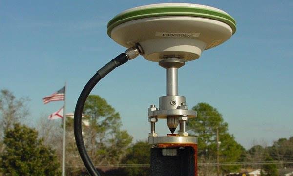
CORS, or Continously Operating Reference Stations, refers to a network of reference stations that operate continuously to improve the accuracy of Global Navigation Satellite System (GNSS) measurements. These stations are strategically located to provide real-time data that can be used for various geospatial applications.
Main Functions of CORS
CORS serves several essential functions, including:
- Enhancing GNSS Measurement Accuracy: By providing correction data, CORS significantly improves the precision of GNSS measurements.
- Providing Reference Data for Geodesy Applications: CORS is crucial for geodesy, the science of measuring and understanding the Earth’s geometric shape, orientation in space, and gravity field.
- Supporting Surveying and Mapping: CORS is widely used in surveying and mapping projects, ensuring that the data collected is accurate and reliable.
Benefits of CORS
The implementation of CORS offers numerous benefits:
- High Accuracy in Measurements: CORS enhances the accuracy of GNSS measurements, making it invaluable for precise applications.
- Reduction of Systematic Errors: By providing real-time correction data, CORS helps minimize systematic errors that can occur in GNSS measurements.
- Real-Time Data Access for Users: CORS stations provide users with immediate access to correction data, facilitating timely decision-making in various applications.
How Does CORS Work?
CORS operates by receiving GNSS signals from satellites. The stations process this data and transmit correction information to users, which helps enhance the accuracy of their measurements. This continuous operation ensures that users can rely on up-to-date and precise data for their geospatial needs.
Applications of CORS
CORS is utilized across various fields, including:
- Mapping and Surveying: CORS is essential for accurate mapping and surveying, providing the necessary data for land development and infrastructure projects.
- Construction and Infrastructure: In construction, CORS helps ensure that projects are built to precise specifications, reducing errors and improving efficiency.
- Precision Agriculture: Farmers use CORS to enhance the accuracy of their agricultural practices, leading to better crop management and resource utilization.
Conclusion
Continously Operating Reference Stations (CORS) are a crucial technology for enhancing the accuracy of GNSS measurements. As technology continues to evolve, the role of CORS will become increasingly important across various sectors, from agriculture to infrastructure development. By providing real-time correction data, CORS ensures that users can rely on precise measurements for their projects.