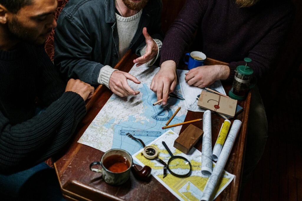
Maps are more than just drawings of roads and landscapes—they are a language. The secret to understanding this language lies in the symbols found on every map. Whether you’re a student, traveler, or just curious about the world, mastering map symbols will help you unlock the power of maps and navigate with confidence.
What Are Map Symbols?
Map symbols are simple shapes, colors, or icons used to represent real features on Earth’s surface. They are a shortcut for showing lots of information in a small space. Without symbols, maps would be cluttered with words or become confusing to read.
Common Map Symbols and Their Meanings
- Mountain Symbol
Mountains are usually shown as small black or brown triangles. This instantly tells us where the highest land or peaks are found, even if the map is tiny. The triangle is a universal symbol for a mountain’s shape as seen from a distance. - River Symbol
Rivers appear as winding blue lines. The thickness of the line often shows the size of the river—the larger the river, the bolder the line. Blue is chosen because it’s the universal color for water. - Road Symbol
Roads on maps come in various forms. Major roads are often thick, straight lines—colored black, red, or even yellow. Smaller roads are thin lines. These differences help you tell highways from narrow village paths at a glance. - Settlement Symbol
Towns, cities, or villages are usually marked with dots, small circles, or squares—often in red or black. These may be labeled with the place’s name and are sometimes accompanied by a tiny house symbol to show it’s a built-up area. - Other Useful Symbols
Maps also use special symbols for features like forests (tree icons), hospitals (a red cross), or airports (an airplane shape). Each map comes with a legend or key—a box explaining what every symbol means. Always check the legend if you see an unfamiliar symbol!
Why Are Map Symbols Important?
Learning to read map symbols is like learning a new language. With just a glance, you can spot mountains, rivers, cities, and roads—without reading a word! Symbols help everyone, regardless of their language, understand the same map.
Tips for Mastering Map Symbols
- Always check the map legend. It’s your best friend for decoding symbols.
- Practice with real maps. Try finding your city, local rivers, or highways using only symbols.
- Remember: Symbols can vary! Different maps or countries may use slightly different icons, so always double-check the legend.
Conclusion
Map symbols make navigation possible—on hikes, travels, or in geography class. By learning what these symbols mean, you’ll become a map reader who can find their way anywhere, anytime. So, next time you open a map, look for the triangles, lines, and dots—and see the world open up before your eyes.
