
In a time marked by climate change and environmental crises, access to accurate and real-time data about our planet has never been more essential. This is where the Sentinel-2 satellite mission plays a critical role. As part of the European Union’s Copernicus Programme, Sentinel-2 delivers high-resolution imagery that supports land monitoring, disaster response, and environmental research.
What is Sentinel-2?
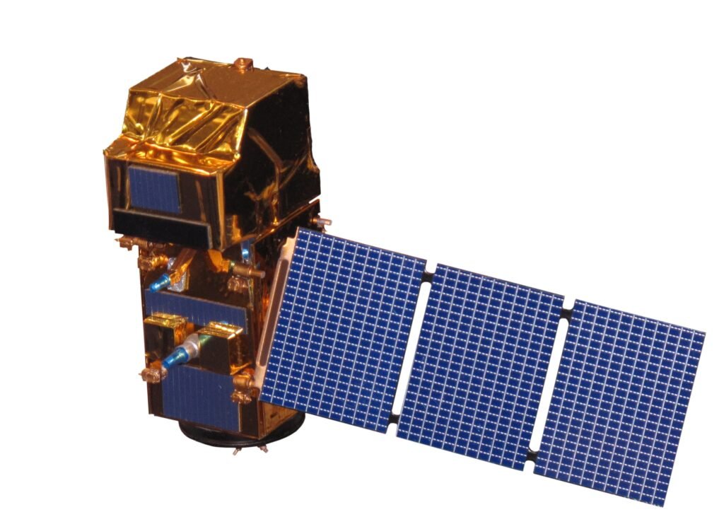
Sentinel-2 consists of two satellites—Sentinel-2A and Sentinel-2B—developed by the European Space Agency (ESA). These satellites are equipped with optical sensors designed to capture detailed images of Earth’s land surfaces.
Covering a wide spectral range—from visible light to near-infrared—the mission is ideal for applications such as agriculture, forestry, land cover classification, and environmental monitoring.
Key Functions and Applications
Sentinel-2’s data supports a broad range of sectors. Key uses include:
- Deforestation and forest degradation monitoring
- Crop health assessment and drought detection
- Flood and wildfire damage assessment
- Urban growth and land use mapping
- Climate change observation and analysis
These insights help decision-makers, researchers, and communities respond faster and more effectively to environmental challenges.
Advanced Imaging Capabilities
Each Sentinel-2 satellite is equipped with a Multispectral Instrument (MSI) that captures imagery in 13 spectral bands, including visible, near-infrared, and shortwave infrared. The spatial resolution reaches 10 meters, allowing for detailed observation of Earth’s surface.
The satellites also offer high revisit frequency—every location on Earth is observed every 5 days. This frequency is crucial for monitoring dynamic changes such as fires, floods, or agricultural growth.
Who Uses Sentinel-2 Data?
Sentinel-2 data is freely available and open-access, making it accessible to a wide range of users:
- Farmers and agronomists for crop monitoring
- Local governments for urban planning and land use
- Scientists and environmental researchers
- Disaster response teams for real-time damage assessments
- NGOs working in environmental conservation
Real-World Impact
Sentinel-2 is more than a scientific tool—it creates tangible benefits on the ground. Examples include:
- Exposing illegal deforestation in the Amazon
- Tracking wildfire and flood damage globally
- Supporting food security initiatives in developing regions
- Promoting environmental transparency and accountability
Conclusion
Sentinel-2 demonstrates how space technology can serve humanity and the environment. By providing accessible, high-quality Earth observation data, it empowers us to make informed decisions, respond to disasters, and protect our planet.
If you’re interested in exploring Sentinel-2 data, it is freely available through the Copernicus Open Access Hub. This open data policy is a major step toward a more transparent, informed, and sustainable future.