
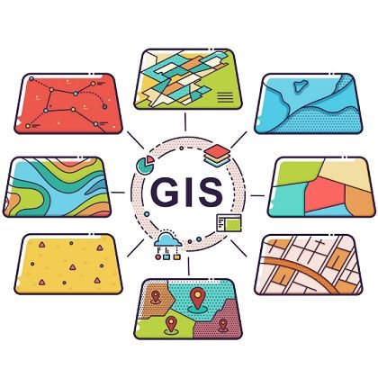
In an era where environmental challenges are more pressing than ever, technology plays a crucial role in our efforts to create a sustainable future. One such technology is Geographic Information System (GIS), which allows us to visualize, analyze, and interpret data related to the Earth’s surface. This blog explores how GIS is transforming our approach to sustainability and environmental conservation.
Mapping Natural Resources 🌳💧
Natural resources are the backbone of our economy and well-being, but they are finite and often under threat from over-exploitation. GIS provides a powerful platform for mapping these resources, enabling us to manage them more effectively.
- Understanding Resource Distribution
By using GIS, we can create detailed maps that show the distribution of natural resources such as forests, water bodies, minerals, and agricultural land. For example, a GIS map can highlight areas with high biodiversity, allowing conservationists to prioritize these regions for protection.
- Sustainable Management Practices
With accurate data at our fingertips, we can implement sustainable management practices. For instance, in forestry, GIS can help identify which areas are suitable for logging while minimizing the impact on surrounding ecosystems. This approach not only preserves biodiversity but also ensures that local communities can continue to rely on these resources for their livelihoods. - Case Study: Water Resource Management
In regions facing water scarcity, GIS can be instrumental in managing water resources. By mapping watersheds and analyzing rainfall patterns, authorities can make informed decisions about water allocation and conservation strategies. For example, in California, GIS has been used to monitor groundwater levels and identify areas at risk of depletion, allowing for proactive measures to be taken.
Monitoring Environmental Changes 📈🌿
The environment is constantly changing due to natural processes and human activities. Monitoring these changes is essential for effective conservation and management. GIS provides the tools needed to track and analyze these transformations over time.
- Tracking Deforestation and Urbanization
One of the most significant challenges we face is deforestation, which contributes to climate change and loss of biodiversity. GIS allows us to analyze satellite imagery to monitor forest cover changes. By comparing historical data with current images, we can identify areas that are experiencing rapid deforestation and investigate the underlying causes, such as logging or agricultural expansion.
Similarly, urbanization poses threats to natural habitats. GIS can help urban planners visualize land use changes and assess the impact of new developments on local ecosystems. This information is crucial for creating sustainable urban environments that balance growth with environmental protection. - Assessing Climate Change Impacts
Climate change is another critical area where GIS plays a vital role. By analyzing geospatial data, scientists can model climate change scenarios and predict their impacts on various ecosystems. For instance, GIS can help identify areas at risk of flooding due to rising sea levels, enabling communities to develop adaptation strategies. - Case Study: Coral Reef Monitoring
In marine environments, GIS is used to monitor coral reefs, which are highly sensitive to changes in water temperature and quality. By mapping coral health and tracking changes over time, researchers can identify areas that require immediate attention and develop conservation strategies to protect these vital ecosystems.
Conclusion
Embracing GIS for a Sustainable Future 🌱🤝
GIS is not just a tool for scientists; it’s a vital resource for anyone interested in sustainability. By harnessing the power of GIS, we can work towards a more sustainable future, ensuring that our planet remains vibrant and healthy for generations to come.
As individuals, we can also play a role in this movement. Whether it’s participating in local conservation projects, advocating for sustainable practices, or simply spreading awareness about the importance of GIS in environmental protection, every action counts.
Let’s embrace this technology and make a positive impact on our environment! Together, we can create a world where natural resources are managed sustainably, ecosystems are protected, and future generations can thrive. 🌍💚