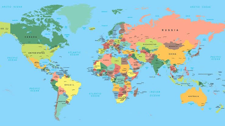
Mapping is more than just lines on a page; it’s a vital tool for understanding our world! Whether you’re planning a new project, conducting research, or simply exploring, the right type of map can make all the difference.
Let’s dive into the various types of mapping and discover which one is best for your needs! 🌍✨
Basic Mapping
Basic mapping provides essential geographical information, including roads, landmarks, and terrain. 🏙️
It’s ideal for urban planning and navigation, helping you find your way around cities and understand the layout of the land.
Geological Mapping
Geological mapping focuses on the distribution of geological features, showcasing different rock types and formations. 🪨
This type of mapping is crucial for mining, construction, and environmental assessments, providing insights into the earth’s structure and resources.
Land Use Mapping
Land use mapping analyzes how land is utilized, showing different zones such as residential, commercial, and agricultural areas. 🌾🏢
This is essential for urban development, resource management, and environmental planning, helping communities grow sustainably
Topographic Mapping
Topographic mapping displays elevation and terrain features using contour lines. ⛰️
It’s particularly useful for hiking, land development, and environmental studies, allowing you to visualize the landscape’s ups and downs.
Thematic Mapping
Thematic mapping focuses on specific themes or subjects, such as demographics or climate. 🌡️📊
This type of map is great for research and policy-making, providing a visual representation of data that can inform decision
Hydrological Mapping
Hydrological mapping illustrates water resources and drainage systems, showing water bodies, watersheds, and drainage patterns. 💧
This is important for water management, flood risk assessment, and environmental conservation, ensuring we protect our vital water resources.
Cadastral Mapping
Cadastral mapping details land ownership and property boundaries. 🏡
This type of map is essential for real estate, land use planning, and legal purposes, helping to clarify who owns what and how land can be used.
Every project requires the right mapping! From basic maps to specialized geological, land use, and thematic maps, we provide detailed mapping solutions tailored to your needs. Let’s explore the world together! 🌍✨
