
Introduction
In the age of digital transformation, geospatial technologies are evolving rapidly. One of the most powerful modern combinations is the use of drones (Unmanned Aerial Vehicles or UAVs) alongside Geographic Information Systems (GIS).
These two technologies work hand in hand: drones serve as agile, efficient tools for collecting spatial data from the air, while GIS provides the platform to store, analyze, and visualize that data on digital maps.
This article explains how drone-captured data is processed and integrated into GIS workflows and the benefits of using drones in spatial analysis and mapping.
What is GIS?
Geographic Information Systems (GIS) are computer-based tools used to:
- Store
- Manage
- Analyze
- Visualize spatial (location-based) data
GIS is applied across various fields including urban planning, disaster mitigation, agriculture, environmental monitoring, transportation, and resource management.
It allows users to make informed decisions based on the spatial relationships between features on Earth’s surface.
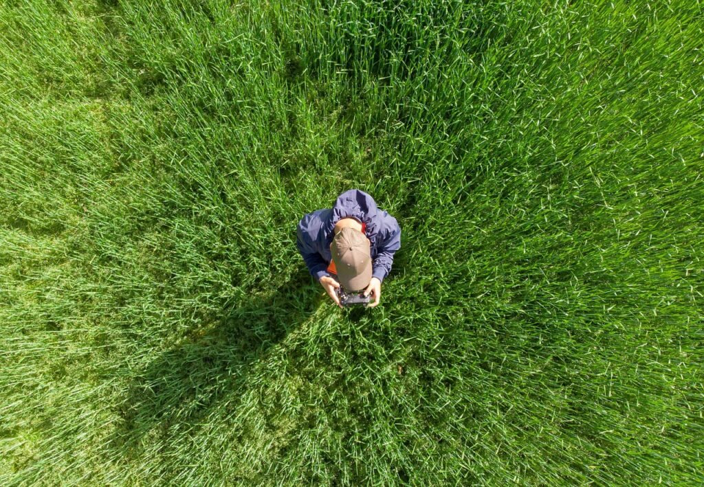
The Role of Drones in Spatial Data Collection
Drones act as mobile aerial platforms equipped with cameras or sensors that capture high-resolution spatial data. Some common types of data collected by drones include:
- Aerial imagery: High-resolution photographs used for land cover analysis, visual interpretation, or classification.
- Elevation data: Digital Elevation Models (DEMs) and contour maps derived from drone imagery to analyze terrain.
- Multispectral imagery: Used to monitor vegetation health, assess water quality, or differentiate land surfaces based on spectral reflectance.
Drones are especially useful in mapping small to medium-sized areas quickly and with great precision.
Workflow: From Drone to GIS
1.Data Acquisition
The drone is flown over a target area based on a predefined flight path or mapping mission. It captures overlapping images or sensor readings tied to GPS coordinates.
2.Data Processing
Raw data from the drone is processed using photogrammetry software such as Pix4D, Agisoft Metashape, or DroneDeploy to produce spatial datasets, including:
- Orthomosaic images (geometrically corrected images)
- Digital elevation or surface models
- Vegetation indices (NDVI, etc.)
3.Data Formatting
Processed outputs are exported into GIS-compatible formats such as:
- GeoTIFF (raster)
- Shapefiles (.shp)
- Point clouds (.las/.laz)
- Contour lines or elevation grids
4.Import into GIS Software
Data is then imported into GIS platforms like QGIS, ArcGIS, or Global Mapper for analysis and visualization.
Users can perform tasks like:
- Spatial overlays
- Land use classification
- Terrain analysis
- Change detection
Why Use Drone Data in GIS?
Here are some key advantages of integrating drone data into GIS workflows:
- High Resolution: Drones can capture fine-scale detail that satellite imagery often cannot, especially in small or complex sites.
- On-Demand Collection: Data can be gathered whenever needed, regardless of satellite pass schedules or cloud cover.
- Cost-Effective: Operating a drone is generally more affordable than commissioning aerial surveys or purchasing commercial satellite data.
- Agile & Responsive: Ideal for monitoring construction, agriculture, or post-disaster scenarios where quick assessments are needed.
Conclusion
The integration of drones and GIS is transforming how spatial data is collected and used. It offers a powerful, efficient, and affordable solution for professionals and researchers who need detailed, location-based insights.
As open-source platforms like QGIS become more accessible and consumer drones more affordable, the barrier to entry for spatial analysis is lower than ever. Whether you’re in urban planning, environmental science, agriculture, or education, mastering drone-GIS workflows equips you with a future-ready skillset for the data-driven world.