
When discussing geography, cartography, or even something as practical as planning a hiking route, the terms topography and elevation frequently come up. While they’re closely related and sometimes used interchangeably, they actually refer to different aspects of Earth’s surface. Understanding what each term means—and how they’re used—can make a significant difference in reading maps accurately or making sense of terrain data.
What Is Topography?
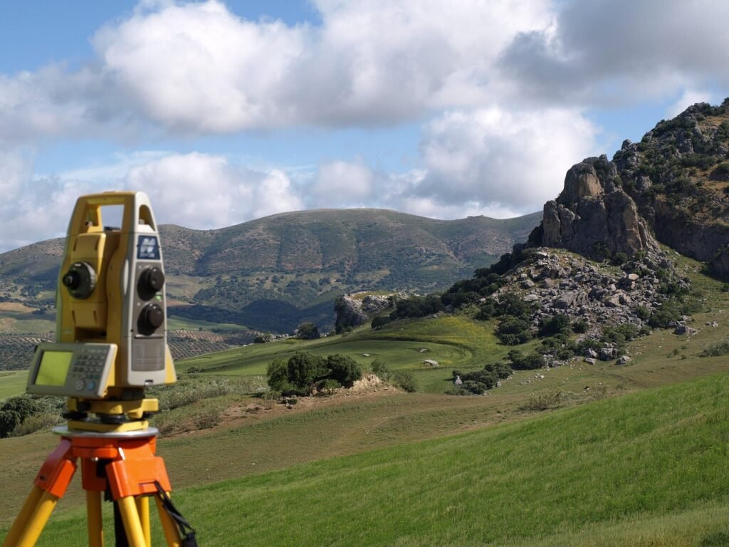
Topography is the term used to describe the physical shape and features of Earth’s surface. This includes natural formations like mountains, valleys, plains, hills, and plateaus. It’s essentially a way of visualizing the three-dimensional form of land using two-dimensional tools such as maps.
The most common way to represent topography is through contour lines, which are lines on a map that connect points of equal elevation. When contour lines are close together, they indicate steep terrain. When spaced further apart, they show flatter or more gently sloping land.
Topography helps us understand how the land is shaped and how it changes from one location to another, making it a crucial tool in environmental planning, civil engineering, and landscape analysis.
What Is Elevation?
Elevation, on the other hand, refers to the vertical height of a specific point above a defined base level—typically mean sea level. It is expressed as a single numerical value, usually in meters or feet, and gives us a reference for how “high” or “low” a point is on the Earth’s surface.
Unlike topography, which focuses on the shape and complexity of the land, elevation is simply a measure of altitude. For example, a mountain peak may have an elevation of 3,000 meters, while a coastal town might sit at 25 meters above sea level. Elevation does not reflect terrain shape—it only tells us how far above sea level something is.
Key Difference in Function
The key difference between topography and elevation lies in what they describe and how they are used. Topography tells you how the land looks—whether it’s flat, sloped, jagged, or rolling. It describes the form, contour, and texture of the surface. It’s all about visualizing the shape of the landscape.
Elevation, on the other hand, tells you where that land is vertically. It doesn’t care if the terrain is a steep cliff or a flat plain—it only tells you the absolute height above sea level. In other words, elevation is a fixed vertical value, while topography provides context and shape to the land at that elevation.
Both are important, but for different purposes. Topography is essential when analyzing slope stability, planning infrastructure, or interpreting landscape patterns. Elevation becomes critical when measuring sea-level rise impact, navigating mountainous terrain, or estimating flight paths.
A Practical Example
Imagine standing on the side of a mountain. The topography describes the slope you’re on—whether it’s steep, rocky, curved, or flat. The elevation simply tells you that you’re 1,800 meters above sea level. While elevation gives you a number, topography tells you the story of the terrain around you.
This distinction becomes especially important in fields like disaster risk management. For instance, two towns might both sit at 500 meters elevation, but if one has steep slopes and rugged topography, it may face much higher risks of landslides or flash floods than the other.
Why This Difference Matters
Understanding both topography and elevation is essential in many real-world applications:
- Urban Planning: Topography influences road design, building placement, and water flow.
- Hiking & Navigation: Elevation helps with altitude awareness; topography helps with route safety.
- Disaster Mitigation: Topographic maps help model flooding, erosion, and landslide risk.
- Agriculture: Knowing landform types and slopes helps optimize crop layout and irrigation.
Failing to distinguish between these concepts could lead to flawed decisions, whether in mapping, development, or emergency planning.
Final Takeaway
In simple terms:
- Topography is about the shape of the land.
- Elevation is about the height of the land.
They often work together, but each gives us a different kind of insight. Together, they help scientists, city planners, hikers, and engineers understand the terrain in both form and altitude.
So next time you’re reading a map or looking at a landscape, remember: elevation tells you where you are vertically, but topography tells you what you’re standing on.