
How geospatial intelligence is helping governments, organizations, and communities combat global water scarcity
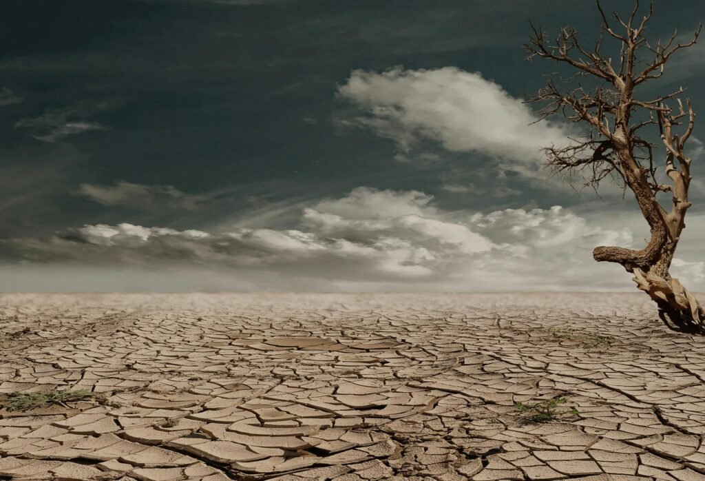
The Global Drought Crisis
Droughts now affect more people globally than any other natural hazard. According to the United Nations, over 1.5 billion people have been directly impacted by drought in the past two decades. As climate change accelerates, prolonged dry periods are becoming more frequent and severe, jeopardizing food systems, ecosystems, and economies. In many regions, water scarcity is no longer a seasonal issue—it is a structural threat.
Why Drought Mapping Matters
Unlike hurricanes or floods, droughts often unfold slowly, making them harder to detect and respond to in time. Geospatial mapping plays a crucial role in addressing this challenge. Through the integration of satellite imagery, climate models, and local data, Geographic Information Systems (GIS) help:
a. Identify regions experiencing abnormal dryness
b. Forecast water shortages and agricultural stress
c. Prioritize vulnerable communities for aid and intervention
With timely and accurate maps, decision-makers can shift from reactive crisis management to proactive drought preparedness.
How GIS Supports Drought Monitoring and Management
GIS brings together multiple layers of spatial and temporal data, enabling more precise tracking of drought indicators. Key applications include:
a. Monitoring rainfall anomalies and evapotranspiration levels using remote sensing
b. Analyzing soil moisture, groundwater depletion, and surface water availability
c. Mapping land use and vegetation health to detect early signs of crop failure
d. Modeling the progression and severity of drought events over time
This integrated approach supports informed decision-making across agriculture, water resource management, and humanitarian aid sectors.
Global Use Cases: GIS in Action
a. East Africa: Satellite-driven early warning systems, supported by organizations like FEWS NET and FAO, help governments respond before droughts escalate into food crises.
b. California, USA: Statewide GIS frameworks support real-time groundwater regulation and long-term drought resilience planning, including wildfire risk assessment.
c. India: Platforms like the National Drought Early Warning System combine remote sensing with weather forecasts to guide irrigation strategies and crop insurance.
Driving Resilience Through Data
Drought risk mapping is increasingly central to building climate resilience. Organizations and governments use GIS to:
a. Design drought-resilient infrastructure and agricultural systems
b. Inform water allocation policies and conservation initiatives
c. Protect at-risk populations through targeted resource distribution
d. Support climate adaptation strategies at regional and national levels
When combined with community engagement and policy reform, these tools transform how we prepare for and respond to water scarcity.
Innovations in Drought Mapping
Advancements in AI, machine learning, and cloud-based data platforms are accelerating the future of drought monitoring. Notable developments include:
a. AI-powered drought forecasting models
b. Open-access mapping platforms like NASA SERVIR and FAO WaPOR
c. Citizen science contributions through apps and community mapping tools
These innovations democratize access to data, ensuring even resource-limited regions can benefit from timely drought information.
Conclusion: From Crisis Response to Risk Prevention
In a world where water insecurity is becoming the norm, spatial intelligence is a vital line of defense. Mapping droughts is no longer a technical exercise—it is a humanitarian imperative. By integrating geospatial data into national strategies, investing in GIS capacity, and promoting open data collaboration, we can secure water in a drying world and protect millions from preventable crisis.