
In today’s fast-paced world, making informed decisions is crucial for success in various fields, from urban planning to disaster management. One powerful tool that has emerged to aid in this process is the Geographic Information System (GIS). In this blog post, we will explore what GIS is, how it functions, its applications, and the benefits it brings to decision-making.
What is GIS?
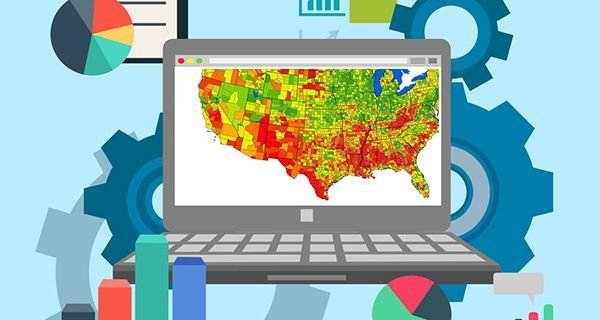
GIS, or Geographic Information System, is a technological tool that allows users to analyze geographic data visually. By combining maps with analytical data, GIS provides valuable insights that can significantly enhance decision-making processes. It enables users to visualize complex data in a way that is easy to understand, making it an essential tool for various sectors.
How Does GIS Assist in Decision-Making?
GIS plays a vital role in decision-making by offering several key functions:
Accurate Spatial Data Analysis: GIS allows for the precise analysis of spatial data, helping decision-makers understand geographical relationships and patterns.
Clear Information Presentation: With GIS, information can be presented in visually appealing formats, making it easier for stakeholders to grasp complex data.
Pattern and Trend Identification: GIS helps identify patterns or trends in specific locations, providing insights that may not be apparent through traditional data analysis methods.
Examples of GIS Applications
GIS is utilized across various sectors, demonstrating its versatility and importance:
Urban Planning: City planners use GIS to analyze land use, infrastructure, and population density, enabling them to make informed decisions about development and resource allocation.
Disaster Management: GIS assists in disaster response by mapping affected areas, identifying resources, and planning evacuation routes, ultimately saving lives and minimizing damage.
Natural Resource Management: GIS helps in managing natural resources by analyzing environmental data, monitoring changes, and planning sustainable practices.
Benefits of Using GIS in Decision-Making
The advantages of incorporating GIS into decision-making processes are numerous:
Reduces Decision-Making Errors: By providing accurate data and visualizations, GIS helps minimize the risk of errors in decision-making.
Increases Efficiency: GIS streamlines the decision-making process by providing real-time data, allowing for quicker responses to changing conditions.
Minimizes Risks: GIS enables decision-makers to identify potential risks and develop strategies to mitigate them, leading to more informed and safer decisions.
Steps in Decision-Making with GIS
The process of making decisions using GIS typically involves several key steps:
Collect Geographic Data: Gather relevant geographic data from various sources.
Analyze Data Using GIS: Utilize GIS tools to analyze the collected data and extract meaningful insights.
Formulate Decisions Based on GIS Insights: Use the insights gained from GIS analysis to inform decision-making.
Implement and Evaluate: Put the decisions into action and evaluate their effectiveness over time.
Why GIS Can Be a Game-Changer
GIS is more than just a mapping tool; it is an innovation that can transform the way we make decisions. With its powerful visualization and data analysis capabilities, GIS enables smarter, more accurate, and faster decision-making. As technology continues to evolve, the potential applications of GIS will only expand, making it an indispensable tool for professionals across various fields.
Ready to Use GIS for Smarter Decisions?
As we have explored, GIS offers immense potential for enhancing decision-making processes. Whether you are in urban planning, disaster management, or natural resource management, leveraging GIS can lead to better and more efficient decisions.