
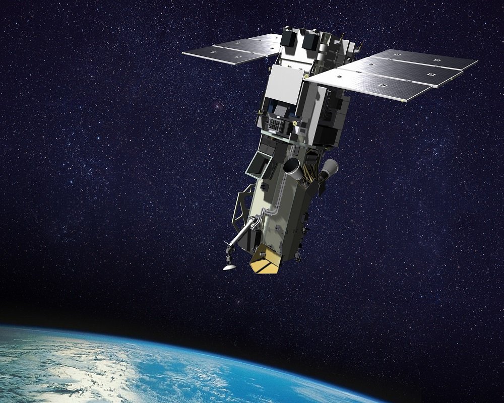
In the realm of remote sensing, the WorldView-3 satellite stands out as a remarkable tool for observing Earth from space. Launched in 2014 by Maxar Technologies, this satellite offers a unique perspective, capturing high-resolution images that reveal intricate details of our planet’s surface.
What is WorldView-3?
WorldView-3 is a cutting-edge remote sensing satellite capable of capturing images with an impressive resolution of up to 31 cm. This level of detail allows us to see everything from buildings and roads to vehicles, making it an invaluable resource for various applications.
The Power of Multispectral Technology
One of the standout features of WorldView-3 is its multispectral technology, which enables the capture of images across different light spectra. This capability provides more than just visual data; it offers insights into vegetation health, mineral distribution, and soil conditions, enhancing our understanding of the Earth’s ecosystems.
Key Applications
The data collected by WorldView-3 is utilized across multiple fields, including:
Environmental Monitoring: Tracking climate change and assessing human impact on natural resources.
Urban Planning: Supporting infrastructure development and effective land use strategies.
Disaster Management: Providing accurate mapping for rapid response during natural disasters.
Importance of Accurate Data
The information derived from WorldView-3 plays a crucial role in scientific research and decision-making processes aimed at fostering a sustainable future. With precise data, we can better plan and protect our environment, ensuring a healthier planet for generations to come.
Innovations and Collaborations
WorldView-3 is not just about capturing images; it is also about continuous innovation. The satellite undergoes regular software updates and capability enhancements to deliver the most accurate and relevant data possible. Furthermore, it collaborates with various agencies and organizations globally, addressing pressing challenges like climate change and resource management.
Overcoming Challenges
While data collection presents its challenges, advancements in technology are paving the way for improved information quality. By embracing innovation, we can tackle limitations and unlock the full potential of satellite technology.
Looking Ahead
The future of remote sensing is bright, with technological advancements promising even more applications and benefits for society and the environment. As we move forward, let’s harness the power of satellites like WorldView-3 to monitor and protect our planet effectively.
In conclusion, WorldView-3 is more than just a satellite; it is a vital tool for understanding and safeguarding our Earth. By leveraging its capabilities, we can work towards a more sustainable and informed future.