
Mapping is an art and science that has existed since ancient times. In this blog, we will explore the long journey of mapping, from hand-drawn maps to digital technology that has transformed the way we see the world. Let’s get started!
Ancient Maps and the Middle Ages 📜
The earliest known maps date back to ancient times, such as the Babylonian map created around 600 BC. This map depicted the known world at that time in a very simple way.
In the Middle Ages, the T-O map became popular. This map represented the world symbolically, often reflecting the religious and mythological views of society. These maps served not only as navigation tools but also as representations of the culture and beliefs of the people at that time.
Advances in Mapping Technology 🧭
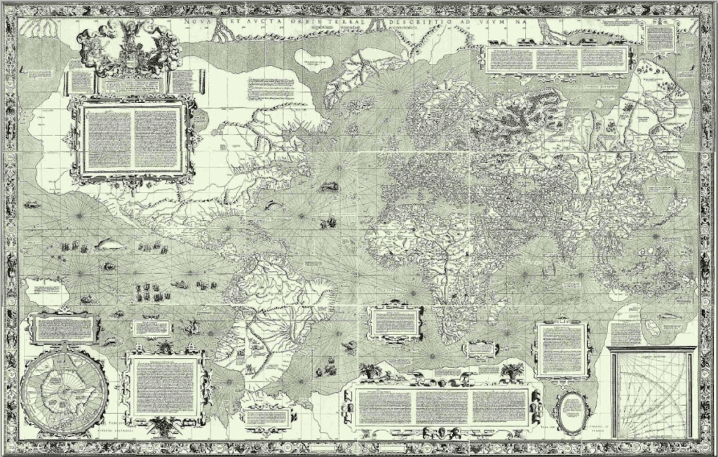
With the invention of the compass in the 12th century, mapping began to become more accurate. The Mercator map, introduced in 1569, is one of the most famous maps used for sea navigation. The cylindrical projection used in this map helped to better depict the shape of the Earth.
Entering the 20th century, aerial mapping and satellite imagery brought a revolution in the collection of geospatial data. This technology allowed for the creation of more detailed and accurate maps, providing better information about landscapes and environments.
The Digital Era and the Future 🌐
With the emergence of digital technology, maps can now be accessed instantly via smartphones and computers. Applications like Google Maps have revolutionized the way we navigate, allowing us to find locations easily and quickly.
The future of mapping promises further innovations, such as 3D maps and augmented reality. These technologies will change the way we interact with geospatial information and provide a deeper experience.
Conclusion 🎉
From hand-drawn maps to advanced digital technology, mapping has evolved significantly throughout history. Each step in this journey reflects the progress of human knowledge and technology.
What is your favorite map? Share in the comments! Let’s continue to explore and understand our world through maps!