
Aerial photography has revolutionized the way we perceive and understand our world. By capturing images from above, this technique provides a unique perspective that allows us to analyze landscapes, monitor environmental changes, and make informed decisions across various fields. In this blog post, we will explore what aerial photography is, its applications in remote sensing, and the benefits it offers.
Aerial Photography: A New Perspective on Our World 🌍
Aerial photography involves taking photographs from an elevated position, typically using aircraft, drones, or balloons. This technique has a rich history, dating back to the 19th century when the first aerial photographs were captured using hot air balloons. Over the years, advancements in technology have transformed aerial photography, making it more accessible and versatile. Today, drones equipped with high-resolution cameras can capture stunning images and videos, providing insights that were once unimaginable.
The beauty of aerial photography lies in its ability to reveal patterns and details that are often overlooked from the ground. Whether it’s the intricate layout of a city, the vastness of a natural landscape, or the subtle changes in land use, aerial photography allows us to see the world from a fresh perspective.
Unlocking Potential: Applications of Aerial Photography 🔍
Aerial photography plays a crucial role in various fields, particularly in remote sensing. Here are some of the key applications:
- Environmental Mapping & Analysis 🌿
Aerial photography is widely used for environmental monitoring and analysis. By capturing images of ecosystems, researchers can assess changes in land cover, track deforestation, and monitor the health of natural habitats. This information is vital for conservation efforts and helps policymakers make informed decisions to protect the environment. - Precision Agriculture 🚜
In the agricultural sector, aerial photography has become an invaluable tool for precision farming. Farmers can use aerial images to assess crop health, identify areas that require irrigation or fertilization, and optimize their resources. This data-driven approach not only increases crop yields but also promotes sustainable farming practices. - Urban Planning & Infrastructure Development 🏙️
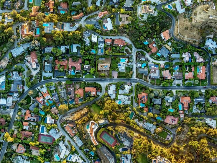
Urban planners and developers rely on aerial photography to visualize and analyze urban landscapes. Aerial images provide a comprehensive view of land use, transportation networks, and infrastructure. This information is essential for effective city planning, zoning, and infrastructure development, ensuring that cities grow in a sustainable and organized manner.
The Power of Perspective: Benefits of Aerial Photography ✨
Aerial photography offers numerous advantages that make it an essential tool in remote sensing: - Better Vantage Points 📸
One of the most significant benefits of aerial photography is the ability to capture images from a higher vantage point. This perspective allows for a broader view of landscapes, revealing patterns and details that may not be visible from the ground. Whether it’s a sprawling city or a vast agricultural field, aerial photography provides a comprehensive overview. - Permanent Records 📜
Aerial photographs serve as permanent records of the Earth’s surface at a specific point in time. This documentation is invaluable for long-term analysis, allowing researchers to track changes in land use, environmental conditions, and urban development over time. By comparing historical aerial images with current ones, we can gain insights into how our planet is evolving. - Wider Spectral Sensitivity 🌈
Aerial photography can capture information beyond what the human eye can see. By using specialized cameras and sensors, aerial imagery can include infrared and multispectral data, which is essential for various applications, such as assessing vegetation health and detecting water bodies. This wider spectral sensitivity enhances our understanding of the environment and supports informed decision-making.
Conclusion 🌟
Aerial photography is a powerful tool that has transformed the way we observe and analyze our world. From environmental monitoring to urban planning, its applications are vast and varied. As technology continues to advance, the potential of aerial photography in remote sensing will only grow, providing us with deeper insights into the changes occurring on our planet.
Whether you’re a researcher, a farmer, or simply someone who appreciates the beauty of our world, aerial photography offers a unique lens through which to explore and understand the complexities of our environment. So, the next time you look up at the sky, remember that there’s a whole new perspective waiting to be captured!