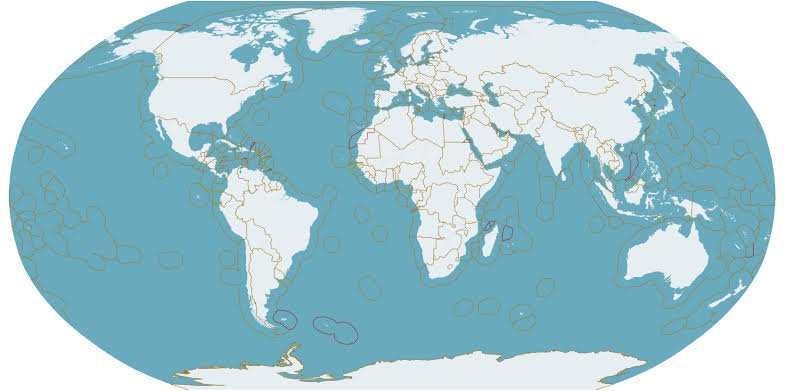
Territorial boundary measurement is a crucial process in land management, legal clarity, and environmental protection. Understanding the importance of accurately measuring territorial boundaries can help us avoid various issues that may arise from unclear land demarcations. Let’s explore why this process is so vital!
Importance of Boundary Measurement 🔑
Boundary measurement offers several significant benefits, including:
Prevents Land Disputes: Clear boundaries minimize conflicts between landowners. Ambiguity in boundaries is often a primary cause of land disputes, which can lead to lengthy and costly legal processes. ⚖️
Protects Natural Resources: Accurate measurements aid in the sustainable management of natural resources, such as forests and water sources. By knowing the boundaries, we can ensure that these resources are managed properly and not overexploited. 🌳💧
Legal Certainty: Precise boundary measurements provide a solid foundation for legal permits and land use planning. This is essential to ensure that all parties comply with existing regulations and avoid future legal issues. 📜
Thus, accurate boundary measurement is essential for creating a harmonious and sustainable living environment. 🌱
The Measurement Process 🛠️
The boundary measurement process involves several systematic steps and utilizes advanced technology. Here’s an overview of the process:
Site Assessment: The surveying team conducts an initial assessment of the location to be measured. This includes observing the physical and environmental conditions surrounding the area. 🔍
Data Collection: After the assessment, the team collects data using various measuring tools, such as total stations or GPS devices. This data is crucial for ensuring measurement accuracy. 📏📡
Analysis and Mapping: Once the data is collected, the next step is to analyze the information obtained and create a clear boundary map. This mapping will serve as an important reference for all parties involved. 🗺️
Reporting: Finally, the team compiles a report summarizing the measurement results and analysis. This report will become an official document that can be used for legal and planning purposes. 📝
By employing advanced technology and methodologies, our surveying team guarantees accurate and reliable results! ✅
Conclusion 🌟
Territorial boundary measurement is not just a technical activity; it is also a vital step in maintaining justice, sustainability, and environmental protection. With a better understanding of this process, we can contribute to better resource management and reduce potential conflicts in the future. Let’s take care of and manage our resources wisely! 🌍💚
