MANFAAT PENGGUNAAN DRONE UNTUK TRACKING PROYEK KONSTRUKSI
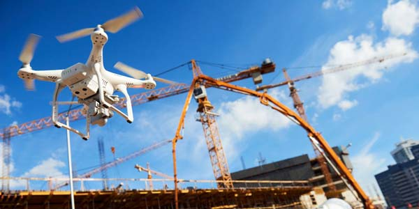
Penggunaan drone untuk proyek konstruksi semakin marak digunakan. Kegunaan drone jelas sangat membantu dalam hal tracking dan inspeksi lapangan dengan hasil yang lebih baik, cepat dan tentunya juga akurat. Tidak hanya itu saja, drone yang memang sudah terintegrasi oleh sistem…